Blog
Das Feldbuch
Das Feldbuch: every episode walks the line once — top to bottom. How the maps are made → Methods
Satellite, aerial image, map — what is, not what we hope.
Go there, ask, back it up with open sources.
The first step, small enough for this week.
-
Three Hundred and Sixty Hectares
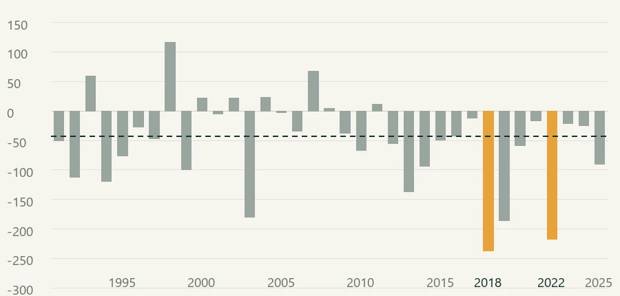
In the Ammerland district, 360 hectares of tree nursery land vanish between two official surveys. Was it the drought? Eight summers of Sentinel-2, 1,192 officially declared nursery parcels, and a finding that in the end belongs to the grassland.
-
Four Pixels
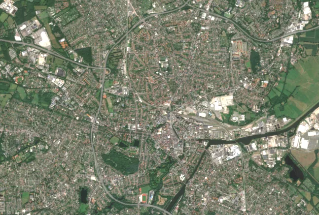
Oldenburg votes on its tree protection bylaw. What satellite data can contribute — and how large a loss of vegetation has to be before it is measurable at all.
-
What is allowed to happen?
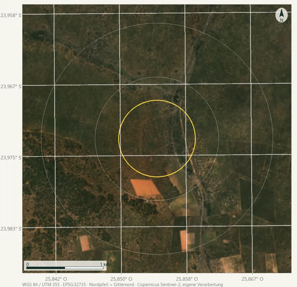
A fence is a decision about what may happen on a piece of land. In Botswana one such area is poorer than its surroundings and catching up at the same time. What satellite data can say about that, and what it cannot.